18.09.2018.
morning
afternoon
night
description
wind
Tmin(°C)
19
23
20
Tmax(°C)
24
26
21
19.09.2018.
morning
afternoon
night
description
wind
Tmin(°C)
20
23
19
Tmax(°C)
22
25
22
20.09.2018.
morning
afternoon
night
description
wind
Tmin(°C)
19
24
19
Tmax(°C)
25
28
21
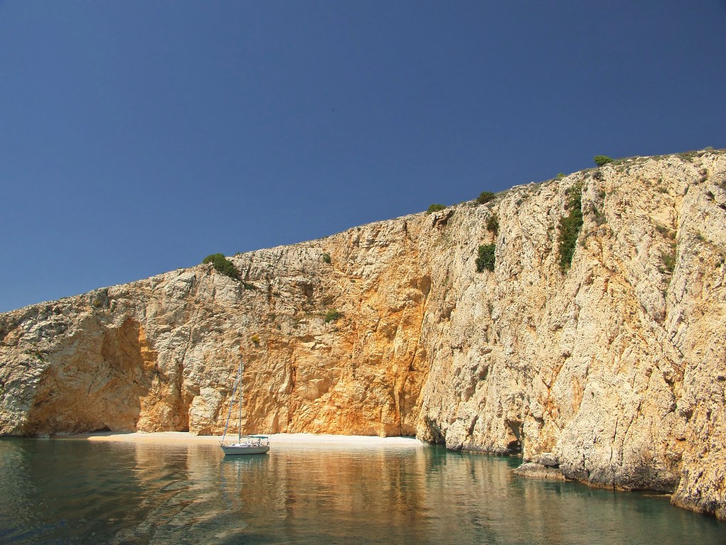
Brioni National Park
Brioni National Park  Map of Brioni and price list
Mali Brijun, whose area is 100 ha, was once part of Veliki Brijun. Today, the two islands are separated by the Tisnac Channel, 120 metres wide and 2-3 metres deep.
The low coast of Mali Brijun is full of pebbly beaches and quiet inlets. Choose the one you prefer, surrounded by silence complemented only by the sounds of summer, with no one near you, maybe only in the next inlet.
For your refreshment, there is a bar-restaurant on the island which emanates a friendly atmosphere. This is the only place where you are likely to meet people in the tame wilderness of Mali Brijun.
MAP OF BRIONI HARBOUR


Source: www.brijuni.hr


Video
Current news
 Macrocruise charter agency
Additional discount on the boat rental price of betw
Macrocruise charter agency
Additional discount on the boat rental price of betw


EcoAdriatica

Charter


Nagradna igra